Most people relocating to the metro San Antonio area generally do so because of: (1) the pleasant year round temperature, (2) the low cost of living, (3) a strong metro to do business in, (4) the bluebonnets blooming every Spring, or (5) how it is often referred to by its’ own residents as a big metro with a small town attitude, a wonderful place to raise a family, with great schools and a slow-paced “gait.”
But while people find that the reason they chose to move here is confirmed once they arrive, perhaps one of the most important things about San Antonio most people wouldn’t otherwise know is the ease with which one can travel around the city. And since we don’t have light rail or bike lanes, which we’re working on, the auto is the mode of travel most folks choose to get around. With a major network of interstate highways and local roads, it is often possible to travel at the height of the rush hour, say from the outskirts to downtown in 20 – 25 minutes, or less.
Three interstate highways bisect San Antonio. The first, I-10, which runs east to west along the southern tier of the U.S. from Jacksonville Florida to Los Angeles CA, enters San Antonio from Houston, 180 miles and Seguin, 40 miles to the east, and continues west to Boerne, 30 and El Paso, some 560 miles away.
And among other highways, U.S. Hwy 281, which also comes through the city to the north, having started its long journey at the U.S./Canadian border in North Dakota, splits San Antonio down the middle running along perhaps the most picturesque if not contentious section of highway. Past Olmos Basin, Brackenridge Golf Course and the San Antonio Zoo, a few miles north of downtown, it picks up I-37, south of the city, the two highways split with I-37 heading to Corpus Christi and the gulf coast, 143 miles away, and 281 ending its own journey in Brownsville, in the Rio Grande Valley 280 miles away.
But while not shortchanging the importance of the interstate highways to San Antonio auto travel, the two roadways that make San Antonio unique and convenient, the “inner and outer loops,” John B. Connally Loop I-410 and Charles W. Anderson Loop 1604, as their names imply loop the city, 410 about 8 miles outside downtown and 1604, an additional 8 miles beyond. Connally was, of course, governor of Texas in the early to mid-60s and a friend of the city during the HemisFair 1968 building days, and Anderson, a former Bexar (pronounced Bear) County judge from 1939 – 1964.
Loop 410, fully 49.49 miles in circumference, dates to 1959 when it was authorized by the Texas State Legislature to be built. Construction was started a year later and was completed in the early 70s. Today Loop 410 is really two connecting highways with the northwest section six lanes wide between I-35 and I-90 and the south side section, which travels through less traveled sections.
Arguably, roadways make cities, or sections of cities, drawing both residents and businesses to the newly opened land masses. And such was the case with 410. Before it was built, San Antonio’s city limits didn’t extend much beyond Hildebrand Ave. But with construction, a whole new area of the city became available, where the preponderance of city retail and housing now exists.
The first section of Loop 1604, between Highway 16 and 281 was completed by 1975 with basically the same number of lanes as Loop 410, four on the north side and two lanes on the south.
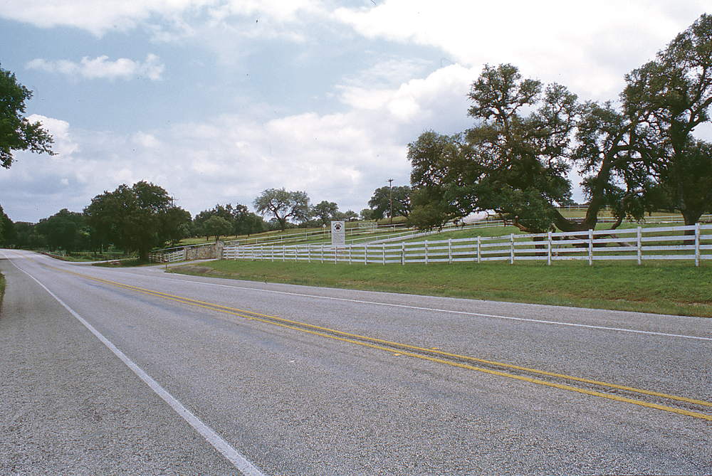
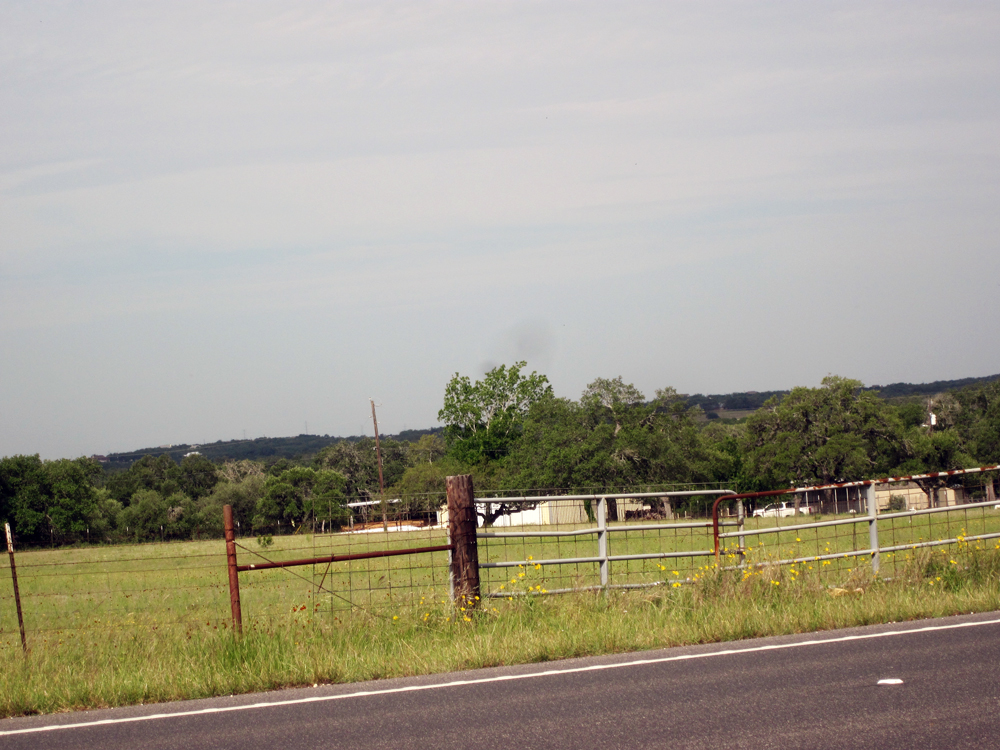
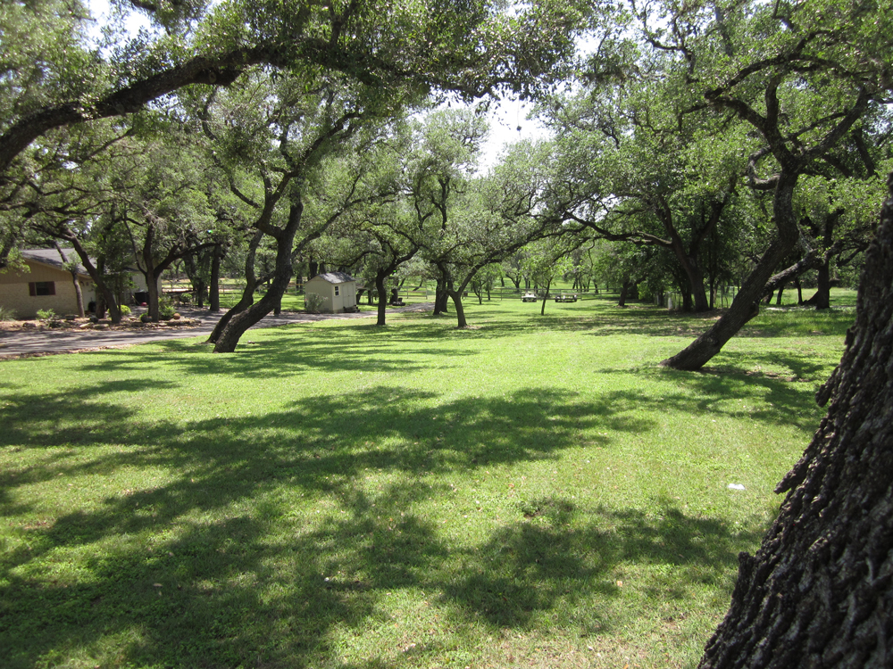
And if you’ve heard of time standing still, Hwy. 46, some of the peaceful, pristine picture taking 65 miles in the metropolitan area, running between Hwy 16, west of Helotes, and highway 123 in Seguin, with stops in Boerne, Bulverde and New Braunfels is here to prove you wrong. Dotted with mostly farms and ranches, and occasionally a planned housing community in what city folk believe is country, this two-lane rural road has seen car counts rise in the last twenty years to as much as 10,000 a day in some places, sometimes taking homeowners as much as five minutes to exit their driveways.